|
|
||||
|
|
||||
|
Horatasi |
||||
|
For cave maps and drawings please click on the picture... |
For photographs please click on the photo... |
|||
|
 |
|||
|
Type: |
Horizontal Cave | |||
|
Altitude: |
170 m | |||
|
Depth: |
-3 m | |||
|
Length: |
65 m | |||
|
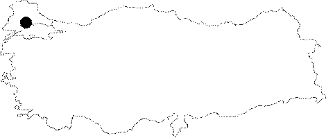
Region: |
Marmara | |||
|
Province: |
Tekirdag | |||
|
District: |
Saray | |||
|
Village: |
Ayvacik | |||
|
|
||||
 |
||||
| Location: Located 8 km northwest of the Saray District; it lies on the northern skirts of the Yanosman Hill; right on the bank of the Ayvacik (Ergene) Creek. It can be reached from the Kavacik Village; which is at the 5th km of the Saray-Vize motorway or the village road of Saray-Ayvacik. The road connecting the Kavacik and Ayvacik villages and passing through the Ayvacik Creek passes right across the cave. It is located next to the Kücük Kalasli Cave. |
| Structural Properties and formation : The vicinity of Horatasi Cave consists of the Paleozoic milonitic gneisses comprising the basis of the Istranca Massif; and the overlying Eocene aged Kirklareli limestones; and the Oligocene silty-sandy-chalky limestones and the Plio-Quaternary sand and pebble deposits. Being a passage type of fossil cave which halted its development; it is a characteristic form of Pliocene. Elongating in the east-west direction in compliance with the development of the paleo Ayvacik Creek flowing; producing meanders on the Pliocene deudational surfaces; it became surfaced by disintegrating through morphological evolution resulting from quaternary movements. |
| Research History: It was explored and mapped by MTA in 1998. It was also explored in 1999 under the Eurasian Bridge '99 Project. |
| Findings: It houses a very rich fauna community. The most characteristic forms of life are bats. With a big colony; they are everywhere in the cave; and so much that they even make it difficult to move farther. Among other forms are gray-black molluscs; big cave flies and guanobia. |