|
|
||||
|
|
||||
|
Gökgöl |
||||
|
For cave maps and drawings please click on the picture... |
For photographs please click on the photo... |
|||
|
 |
|||
|
Type: |
Horizontal Cave | |||
|
Altitude: |
82 m | |||
|
Depth: |
+43;-11 m | |||
|
Length: |
3350 m | |||
|
Region: |
Black Sea | |||
|
Province: |
Zonguldak | |||
|
District: |
Merkez | |||
|
Village: |
Ercek | |||
|
|
||||
 |
||||
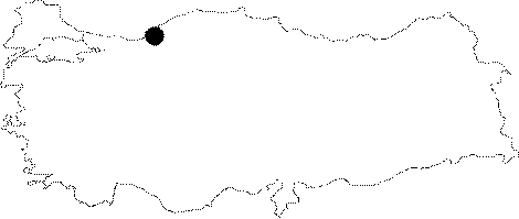
| Location: It is located on the road around the Uzülmez Region at 4th km of the Zonguldak exit of the Zonguldak-Ankara motorway. The distance from entrance to the center of Zonguldak is 4-5 km as the crow flies; situated to southeast of the city; in Erçek/Ercek Village. It lies on the eastern bank of the Ercek Creek; which deeply lapsed into its bed. |
| Structural Properties and formation : It can be reached among the rocky blocks through a big fossil mouth. At the end of 250 m; a siphon is reached by walking. Although it is 10 m long; the siphon can be crossed by walking; particularly at the end of summer with the withdrawal of waters. From that point; the cave continues among beautiful decorations in 2 branches following the direction of water inflow. After 1200 m; it ends up with a depression. It was formed within the First Geological Time (Visean-Paleozoic) limestones. |
| Research History: The first speleological exploration was carried out by T. Aygen and two British speleologists in 1976. The second exploration was carried out during a Turkish-French joint-study in 1977; followed by subsequent explorations by MAD and BUMAK. It was also surveyed in 1978 during the speleological excursion of the British Trent Polytechnic. Later on; it was explored and mapped by MTA. It takes place in the registered archaeological sites list prepared by Ministry of Culture and Tourism. |
| Findings: From entrance till the siphon; there can be seen black colored molluscs. Also seen are millipedes; cave spiders and bats. Furthermore; fish were seen where the underground creek constitutes small lakes. |