|
|
||||
|
|
||||
|
Gökçeagaç |
||||
|
For cave maps and drawings please click on the picture... |
For photographs please click on the photo... |
|||
|
 |
|||
|
Type: |
Cave | |||
|
Altitude: |
760 m | |||
|
Depth: |
-6 m | |||
|
Length: |
190 m | |||
|
Region: |
Black Sea | |||
|
Province: |
Düzce | |||
|
District: |
Yigilca | |||
|
Village: |
Gökçeagaç | |||
|
|
||||
 |
||||
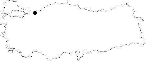
| Location: It is located right inside the Gökçeagaç Village; which is 3 km of Yigilca District; 30 km northeast of Düzce. |
| Structural Properties and formation : Gökçeagaç Cave developed in the basin of a uvala; on a plateau splitted 350 Ğ 400 m by Melen Brook flowing along a clearcut fault that extends in northeast-southwest direction. It is a sinkhole type cave where the waters of the uvala get drained underneath the earth. It is a east-west developed cave with an altitude of 760 m. It extends horizontally; measures 2-8 m wide; 0.5-5 m high. There is little headroom in the cave due to the dense presence of stalactites; and stalagmites; and that makes walking impossible inside. The cave could not adapt to the geomorphological enlargement in the area; due to the impermeable rocks underneath the limestones; and this caused the cave to stay suspended. Its basin is filled with clay; sand; pebbles; and blocks. Those deposits that come into the cave from external sources formed shallow ponds. Inside the cave it is densely filled with gorgeous dripstones (stalactites; stalagmites; columns; walls and bacon rinds). Due to the little headspace and the subsurface waters rising and falling the stalactites are short and wide. It is a semi-active sinkhole type cave that continues its development. Due to its stratigraphical disposition it can not expand vertically; therefore horizontally extends in western direction. |
| Research History: It was researched by the Geological Studies Department of MTA General Directorate; and published in 2002. |
| Findings: There are mosquitoes and a few bats at the entrance and at other sections of the cave. |