|
|
||||
|
|
||||
|
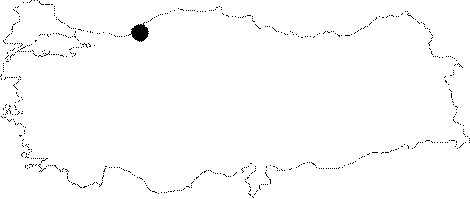
Esenli Düdeni |
||||
|
For cave maps and drawings please click on the picture... |
For photographs please click on the photo... |
|||
|
 |
|||
|
Type: |
Vertical Cave | |||
|
Altitude: |
265 m | |||
|
Depth: |
-42 m | |||
|
Length: |
54 m | |||
|
Region: |
Black Sea | |||
|
Province: |
Zonguldak | |||
|
District: |
Merkez | |||
|
Village: |
Esenli | |||
|
|
||||
 |
||||
| Location: It can be reached from the Zonguldak-Kilimli-Gelik-Ayici-Esenli road. The road leading to the open coal mining passes by the cave. It lies 1 km east of the Kizilelma Cave. |
| Structural Properties and formation : Consisting of a a vertically developed single shaft; it was formed within the profoundly karstic limestones of the Aptian aged Kapuz Formation. Crossover of two faults in the north-south and northeast-southwest direction was effective in its development. |
| Research History: It was explored and mapped by MTA. |
| Findings: No animal forms were seen except the black colored molluscs. |