|
|
||||
|
|
||||
|
Domuzdere |
||||
|
For cave maps and drawings please click on the picture... |
For photographs please click on the photo... |
|||
|
 |
|||
|
Type: |
Horizontal Cave | |||
|
Altitude: |
160 m | |||
|
Depth: |
-2 m | |||
|
Length: |
300 m | |||
|
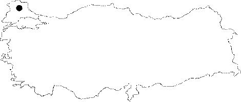
Region: |
Marmara | |||
|
Province: |
Kirklareli | |||
|
District: |
Vize | |||
|
Village: |
Balkaya | |||
|
|
||||
 |
||||
| Location: It can be reached from the Balkaya Village. The upper slope of the Ayvapinar Creek is accessible by any vehicle from the village. A 10-minute walk leads to the entrance of the cave. |
| Structural Properties and formation : The vicinity of Domuzdere Cave was formed within the Paleozoic milonitic gneisses overlaid by the Triassic schists plus the Eocene aged Kirikkale limestones; crusting the whole units on top. The cave is adorned with very rich decorations consisting of wall and curtain dripstones as well as stalactites; stalagmites and columns. |
| Research History: It was explored and mapped by MTA. |
| Findings: Except the cave flies in the entrance zone; no remarkable form of life was found in the cave. |