|
|
||||
|
|
||||
|
Deriini |
||||
|
For cave maps and drawings please click on the picture... |
For photographs please click on the photo... |
|||
|
 |
|||
|
Type: |
Cave | |||
|
Altitude: |
1450 m | |||
|
Depth: |
-52 m | |||
|
Length: |
65 m | |||
|
Region: |
Black Sea | |||
|
Province: |
Bolu | |||
|
District: |
Mudurnu | |||
|
Village: |
Dodurga | |||
|
|
||||
 |
||||
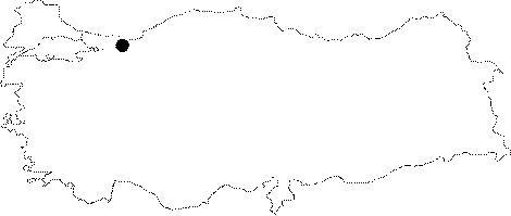
| Location: It is located on the southern slope of Akkaya Tepe; 2 km north of the Dodurga Village; of Mudurnu District 70 km southwest of Bolu Province. |
| Structural Properties and formation : The cave; that is situated on the southern slope of Akkaya Tepe which was formed by the aged limestones; developed vertically; on a clearcut fault in NW-SE direction. The cave which has an entrance at 1450 m; consists of three interconnected; clearcut pits of -7; -24 and -2 m; and it is extremely narrow. Deriini where dripstones were partially formed on it walls and basin; is a fossil cave; which completed its development. Due to the insoluble formations underneath the limestones it could not expand deeper. |
| Research History: It was researched by the Geological Studies Department of MTA General Directorate; and published in 2002. |
| Findings: |