|
|
||||
|
|
||||
|
Degirmendere |
||||
|
For cave maps and drawings please click on the picture... |
For photographs please click on the photo... |
|||
|
 |
|||
|
Type: |
Cave | |||
|
Altitude: |
609 m | |||
|
Depth: |
-50 m | |||
|
Length: |
85 m | |||
|
Region: |
Black Sea | |||
|
Province: |
Ordu | |||
|
District: |
Gürgentepe | |||
|
Village: |
Eskiköy | |||
|
|
||||
 |
||||
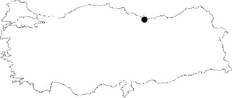
| Location: Along with the caves of Akçabel; and Çataltepe; it is located near Eskiköy; 10 northeast of Gürgentepe District; approximately 40 km southwest from Ordu. The caves are at an area where the the ground is deeply cracked; and broken into pieces through the Ilica Stream (Yavas Dere) and its branches. Degirmendere cave developed inside the stream basin; 200 km north of Hasanali Quarter; just south of the Akçabel Cave. |
| Structural Properties and formation : Akçabel; Degirmendere and Çataltepe Caves which are in the same region; developed inside the limestones in the impermeable rocks. The cave consists of two sections which connect to each other. The entrance section shows a development inclined in north-south direction; and bears four adjacent stairs -3; -5; -11 and Ğ5 m high. This section is the first section of the cave which developed at first stage as the fossil-semiactive section; and its basin is covered with pebbles; sand; and debris. Following the last vertical pit of Ğ5 m; the cave becomes horizontal; then makes a sharp right turn towards east; then turns again towards south (to where it started); and ends in a round hall which has a Ğ15 m long; right-angle descent. The narrow passage at the SE end of the hall located at Ğ50 m from the entrance; where the subsurface stream of the cave disappears; is somewhat the extension of the cave. Degirmendere; consists of three sections 1 to 3 m in width; and 0.5 to 7 m in height; and it is a sinkhole type cave. Its entrance is 5 to 6 m above the Kizillik Stream basin. Its first section has a declination in North to South direction; and it shows a stairway type formation. There are waterways coming out of heaps of sand; and pebbles at points where it is closer to the stream basin level (-10 m). The section that first turns eastwards; then to the south after approximately -30 m; is the half-active section. On the other hand the hall at Ğ50 m is the new section. There is a sub-surface stream at that point that flows both in summer and in winter. |
| Research History: It was researched by the Karst; and Cave Researches Unit of the Geological Studies Department of MTA General Directorate; and published in 2004. |
| Findings: |