|
|
||||
|
|
||||
|
Dedetepe 1 |
||||
|
For cave maps and drawings please click on the picture... |
For photographs please click on the photo... |
|||
|
 |
|||
|
Type: |
Horizontal Cave | |||
|
Altitude: |
890 m | |||
|
Depth: |
-47 m | |||
|
Length: |
106 m | |||
|
Region: |
Marmara | |||
|
Province: |
Bursa | |||
|
District: |
Iznik | |||
|
Village: |
Çandarli | |||
|
|
||||
 |
||||
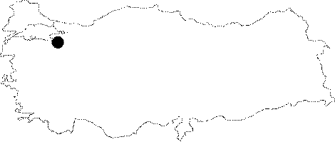
| Location: It is located on the western slope of the Dedecal Hill between Gürmüzlü and Candarli Villages. It can be reached by the Iznik-Elbeyli-Gürmüzlü-Candarli road. The smooth stabilized road reaching up to the Dedecal Hill from Iznik is 18 km. A 10 minute-walk through a pathway among dense forest leads to the cave. |
| Structural Properties and formation : It was formed within the Cretaceous Bilecik limestones. It is a spring type of fossil cave; which started to develop during the Pliocene epoch. With a roof height of 1-25 m; the bottom is covered with bulky rocks and debris. There is no or little dripstone formations. |
| Research History: It was explored and mapped by MTA; and published in 1997. |
| Findings: Few bats and mollusc were seen. |