|
|
||||
|
|
||||
|
Damlatas |
||||
|
For cave maps and drawings please click on the picture... |
For photographs please click on the photo... |
|||
|
 |
|||
|
Type: |
Cave | |||
|
Altitude: |
1156 m | |||
|
Depth: |
-30 m | |||
|
Length: |
130 m | |||
|
Region: |
Central Anatolia | |||
|
Province: |
Karaman | |||
|
District: |
Merkez | |||
|
Village: |
Yollarbasi | |||
|
|
||||
 |
||||
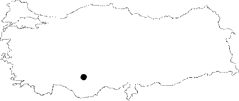
| Location: It is located on a clearcut plain at the foot of a hill 4 km south from Yollarbasi Town (Yesiltepe); which is 15 km from Karaman on the road to Konya. Culali Cave is just south of the Damlatas Cave. |
| Structural Properties and formation : It is a half-vertically / half-horizontally developed; sinkhole type; fossil cave. The entrance of the cave which is facing the east direction (towards the Konya Plain) is a pit of 8 m in diameter. The Damlatas Cave consists of two sections which connect to each other. The endpoint of the first section that turns towards the west after the entrance; is 20.5 m deep. This section is 20 m long; 2-10 m wide; and the ceiling height is 3-10 m; its basin is covered with sand; pebbles; and blocks. The second section; in the southeast direction; which is completely filled with dripstone formations inside (stalactites; stalagmites; columns; eccentrics; draperies) is between Ğ20 m and Ğ30 m based on the entrance level. This section which is zigzagged depending on the direction of the inclination; and layer direction of the limestones; developed in south direction. |
| Research History: It was researched by the Geological Studies Department of MTA General Directorate; and published in 2005. |
| Findings: There is a large colony of bats living in the southern hall of the cave. The basin is covered with guano. |