|
|
||||
|
|
||||
|
Çatalyol |
||||
|
For cave maps and drawings please click on the picture... |
For photographs please click on the photo... |
|||
|
 |
|||
|
Type: |
Cave | |||
|
Altitude: |
180 m | |||
|
Depth: |
-60 m | |||
|
Length: |
326 m | |||
|
Region: |
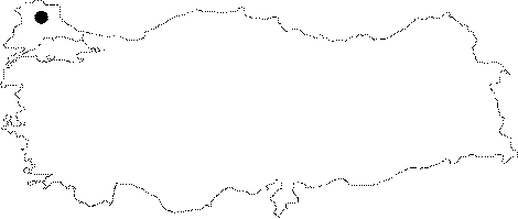
Marmara | |||
|
Province: |
Kirklareli | |||
|
District: |
Demirköy | |||
|
Village: |
Avcilar | |||
|
|
||||
 |
||||
| Çatalyol Sinkhole is near to the Bulgarian Border. The sinkhole is collecting water from a small creek basin in the forest and has formed Mesozoic marble formations inside the north-western edge of the Paleozoic granites and metamorphic rocks of Strandja Massif. After a large vertical breach in the marble stone at the entrance to the cave, water has worn away the steps of the cave creating a vertical drop of approximately 60 m. When the water reaches the bottom of the marble formation it flows roughly 200 m to the south in a 2-5 m wide horizontal crack. The cave has a total length of 326 m and ends with a siphon. No archaeological relics have been found on the cave floor of Çatalyol Cave. The most significant findings in Çatalyol Sinkhole are the hibernating Schreiber bats (approximately 1,200) in the deepest gallery, and the spider species, Porrhomma convexum, recorded for the first time in Turkey. Also documented was a Myotis myotis/blythii individual with white nose syndrome. |
| Location: |
| Structural Properties and formation : |
| Research History: |
| Findings: |