|
|
||||
|
|
||||
|
Çataltepe |
||||
|
For cave maps and drawings please click on the picture... |
For photographs please click on the photo... |
|||
|
 |
|||
|
Type: |
Cave | |||
|
Altitude: |
585 m | |||
|
Depth: |
-42 m | |||
|
Length: |
93 m | |||
|
Region: |
Black Sea | |||
|
Province: |
Ordu | |||
|
District: |
Gürgentepe | |||
|
Village: |
Eskiköy | |||
|
|
||||
 |
||||
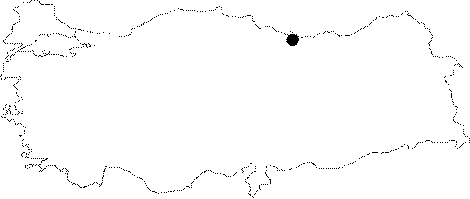
| Location: It is located near Eskiköy which is 10 km northeast of Gürgentepe District; and approximately 40 km southwest of Ordu; alongside Degirmendere; and Akçabel Caves. The caves are at a region where the land is deeply divided by Ilica Stream (Yavas Stream) and its branches. Çataltepe Ceve is 2 km north of Akçabel; and Degirmendere Caves; on the eastern slope of the Yavas Dere which flows in a deep bed east of Karahalil Quarter. |
| Structural Properties and formation : Akçabel; Degirmendere; and Çataltepe Caves which are in the same region; were developed within the limestones lying between the impermeable rocks. The cave which is located in the middle of the slope of Çatalkaya Hill (784 m) overlooking north; has an altitude of 585 m; and it 240 m from the stream basin. The cave which developed on a clear-cut fracture in NE-SW direction; consists of two sections. The first section of the two sections which are on top of each other; developed in NE-SW direction in the beginning; and its first descent is 35 m long. It then continues in NW-SE direction. This gallery; which is densely filled with dripstones (stalactites; stalagmites; wall type and bacon rind type dripstones) is Ğ32 m from the entrance. On the other hand the NW section which has a steep descent of Ğ42 m; opens into a round shaped hall. The basin of this hall is filled with soil; sand; pebbles; and blocks. It is a fossil cave that completed its development. |
| Research History: It was researched by the Karst; and Cave Unit of the Geological Studies Department of MTA General Directorate; and published in 2004. |
| Findings: |