|
|
||||
|
|
||||
|
Çamli |
||||
|
For cave maps and drawings please click on the picture... |
For photographs please click on the photo... |
|||
|
 |
|||
|
Type: |
Cave | |||
|
Altitude: |
660 m | |||
|
Depth: |
+13 m | |||
|
Length: |
270 m | |||
|
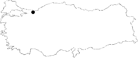
Region: |
Black Sea | |||
|
Province: |
Düzce | |||
|
District: |
Yigilca | |||
|
Village: |
Çamli | |||
|
|
||||
 |
||||
| Location: It is located besides the spring of Elmali Stream that empties into Melen Brook; in the north of the Düzce-Yigilca road; northeast of Düzce. Camlik can be reached from a damaged asphalted road; deviating to left approximately at 20 km on the Düzce-Yigilca road. The road leads near to the cave. |
| Structural Properties and formation : The Çamli Cave developed in a plateau type lightly wavy region; which expands into deep through Melen Brook; and its northern branches. Çamli which is an active; spring-type; horizontally expanding cave developed making meanders; in NE-SW direction.The layers' direction; and the fracture system played an important role in the development of the cave. There is a sub-surface stream inside the cave which is 2 to 5 m wide; and 1 to 15 m high. The waters access the cave through the dolines in the northeast and north of the cave form 1 m deep ponds inside the cave; and flow over small waterfalls created by dripstones. The Çamli Cave bearing forms and structures (keyhole profile; rock and pebble terraces; travertines of different periods) which show a multi-period development characteristic is covered with dripstones which continue their formation inside (stalactites; stalagmites; columns; walls; and bacon rind dripstones; eccentrics; helictites; and dripstone ponds) (Nazik et al. 2005: 111-116). The cave supplies the drinking water of the village. Immediately after the entrance; the water level continues around 40-50 cm (Ruhi 1995: 52-53). |
| Research History: The cave was researched by MAD in August 1994; then mapped in BCRA 3C standard. In addition it was researched by Geological Studies Department of MTA General Directorate; and published in 2002. |
| Findings: |