|
|
||||
|
|
||||
|
Camiliköy Subatani |
||||
|
For cave maps and drawings please click on the picture... |
For photographs please click on the photo... |
|||
|
 |
|||
|
Type: |
Vertical Cave | |||
|
Altitude: |
1800 m | |||
|
Depth: |
-379 m | |||
|
Length: |
680 m | |||
|
Region: |
Mediterranean | |||
|
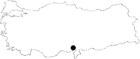
Province: |
Adana | |||
|
District: |
Pozanti | |||
|
Village: |
Dagdibi | |||
|
|
||||
 |
||||
| Location: It lies on the Aladaglar Mazmili Plateau. The region is surrounded by massive and fractured dolomitic rocks. It is located on the southeastern end of the basin; and it is the only drainage of the area. |
| Structural Properties and formation : First it gives an impression of a horizontal extension; however after 25 m; it continues with mainly 5-10 m and sometimes up to 25 m descents. The roof height reaches to 25-30 m in average. The Mazmili Highland is a general name for the area extending between the Karanfil Mountain; Yelatan Plateau; Sarimsak Mountain and Dagdibi Village. Having an average altitude of 1750 m; it has a tectonic-window like surface among the Liassic aged dolomite and Ophiolitic crust units. The Camliköy (also called Camlikköy) Sinkhole was formed as a result of the water flowing on impermeable units; corroding the dolomites in the contact zones of those two units. |
| Research History: It was explored by MAD in 1991. |
| Findings: |