|
|
||||
|
|
||||
|
Ballikoglu |
||||
|
For cave maps and drawings please click on the picture... |
For photographs please click on the photo... |
|||
|
 |
|||
|
Type: |
Cave | |||
|
Altitude: |
390 m | |||
|
Depth: |
-3 m | |||
|
Length: |
3 m | |||
|
Region: |
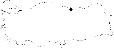
Black Sea | |||
|
Province: |
Ordu | |||
|
District: |
Ünye | |||
|
Village: |
Ugurlu | |||
|
|
||||
 |
||||
| Location: Ballikoglu Pit is located 2.5 km south from Çinarcik 1 Cave which is approximately 20 km to the southeast of Ünye; Ordu; at the basin of a large karstic pit between the Kavraz Stream; which is a branch of Cura Brook; and Cami Stream branches of Ceviz Stream. |
| Structural Properties and formation : Ballikoglu Pit is a sinkhole type semi active cave. The 400 m wide; and 60 m deep polje basin that shows the characteristics of a multi-period development is covered with soil derived from remains of solution. The surface waters arriving here are drained subsurface through the sinkhole type cave which has a depth of 3 m. |
| Research History: It was researched by the Karst and Cave Researches Unit of the Geological Studies Department of MTA General Directorate; and published in 2004. |
| Findings: |