|
|
||||
|
|
||||
|
Ballikaya |
||||
|
For cave maps and drawings please click on the picture... |
For photographs please click on the photo... |
|||
|
 |
|||
|
Type: |
Horizontal Cave | |||
|
Altitude: |
180 m | |||
|
Depth: |
-95 m | |||
|
Length: |
m | |||
|
Region: |
Marmara | |||
|
Province: |
Balikesir | |||
|
District: |
Manyas | |||
|
Village: |
Söve | |||
|
|
||||
 |
||||
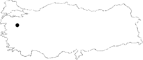
| Location: It is located on the eastern slope of the Ballikaya Hill which looks like an island hill; 12 km southeast of Manyas. It lies 3 km west of the Kocacali Cave. It can be reached from the Manyas-Mürüvetler-Söve-Susurluk motorway. The stabilized road deviating to the left before reaching to the Söve Village from Manyas runs very close to the cave. |
| Structural Properties and formation : The entrance drops into a -6 m steep shaft; which then leads into a second floor through a smooth gallery with 45-50 degrees inclinations. The floor which is -72 m deep in respect to the entrance consists of a big hall. At the bottom of this hall; there is a natural shaft with two entrances. The traverse and drawing of the third part couldn't have been done. The estimated depthness of the cave is about -110 m while its total length is estimated to be 160 m. |
| Research History: It was explored and mapped until -72 m by MTA; and published in 1997. The rest was explored by BUMAK and a new map for -98 m has been prepared. |
| Findings: Plenty of bats in the size of a pigeon were seen in this shaft-like cave [Nazik et al. 1997:38-40]. |