|
|
||||
|
|
||||
|
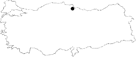
Bakirtepe |
||||
|
For cave maps and drawings please click on the picture... |
For photographs please click on the photo... |
|||
|
 |
|||
|
Type: |
Horizontal Cave | |||
|
Altitude: |
595 m | |||
|
Depth: |
5 m | |||
|
Length: |
149 m | |||
|
Region: |
Black Sea | |||
|
Province: |
Samsun | |||
|
District: |
Havza | |||
|
Village: |
Karamese | |||
|
|
||||
 |
||||
| The cave is situated immediately on the edge of Köy Stream and on the south slope of Balikdüzü Ridge. The Miocene aged volcanic rocks around the cave surround the Upper Jura limestones where the cave lies. These limestones are particulary shattered and have a lythologic structure suitable for melting. Bakirtepe Cave formation consists of very thin limestone and it has a very suppressed and narrow form. It was surveyed and mapped by MTA in 1998. No animal groups were encountered inside the cave [Nazik et al. 1998]. |
| Location: |
| Structural Properties and formation : |
| Research History: |
| Findings: |