|
|
||||
|
|
||||
|
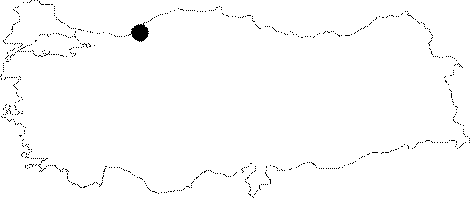
Ayiçi 2 Düdeni |
||||
|
For cave maps and drawings please click on the picture... |
For photographs please click on the photo... |
|||
|
 |
|||
|
Type: |
Cave | |||
|
Altitude: |
440 m | |||
|
Depth: |
-76 m | |||
|
Length: |
484 m | |||
|
Region: |
Black Sea | |||
|
Province: |
Zonguldak | |||
|
District: |
Merkez | |||
|
Village: |
Ayiçi | |||
|
|
||||
 |
||||
| Location: It can be reached through the road of Gelik Havalandirma deviating from the Zonguldak-Kilimli-Gelik-Ayici road. It can be reached by a 15-20 minute walk from Gelik Havalandirma. It is located on the southern side of the Ayici Hill. o 1 km east lies the Kizilelma Cave. |
| Structural Properties and formation : It is a sinkhole which grew in a semi-horizontal and semi-vertical position. Interconnected branches or alcoves extend in different directions. The formation of these branches usually elongating in the northwest-southeast direction has been characterized by bedding and cross sectional cracks. However; in the extension of the main branch; which is located at -76 m; the final point; there is a significant influence of a small fault in the direction of northeast-southwest. It is very poor in decoration. |
| Research History: It was explored and mapped by MTA. |
| Findings: |