|
|
||||
|
|
||||
|
Ayiini |
||||
|
For cave maps and drawings please click on the picture... |
For photographs please click on the photo... |
|||
|
 |
|||
|
Type: |
Horizontal Cave | |||
|
Altitude: |
440 m | |||
|
Depth: |
-3 m | |||
|
Length: |
181 m | |||
|
Region: |
Marmara | |||
|
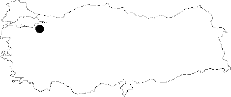
Province: |
Bursa | |||
|
District: |
Mustafakemalpasa | |||
|
Village: |
Kazanpinar | |||
|
|
||||
 |
||||
| Location: It is located on the eastern side of the Acma Hill; which lies 500 m west of the Kazanpinar Village. The Kazanpinar junction on the Mustafakemalpasa-Sögütalan-Bursa motorway leads up to the cave's entrance. |
| Structural Properties and formation : It was formed within the Jura Lower Cretaceous limestones. As the limestones are not very thick; there is a shallow karstic surface in the region. It is a fossil cave which had been hydrologically abandoned. The ceiling is up to 1-8 m. It is adorned with stalactites; columns; stalagmites and wall dripstones; of which growths' were completely halted. At the bottom; there are debris and big blocks. It is a fossil cave; halted its geological development; and it is dry in all seasons. |
| Research History: It was explored and mapped by MTA; and published in 1997. |
| Findings: Colonies of bats inhabit the big gallery; where the entrance of the cave leads into. Also found are millipedes at several places of the cave. |