|
|
||||
|
|
||||
|
Ayi |
||||
|
For cave maps and drawings please click on the picture... |
For photographs please click on the photo... |
|||
|
 |
|||
|
Type: |
Horizontal Cave | |||
|
Altitude: |
m | |||
|
Depth: |
-36 m | |||
|
Length: |
180 m | |||
|
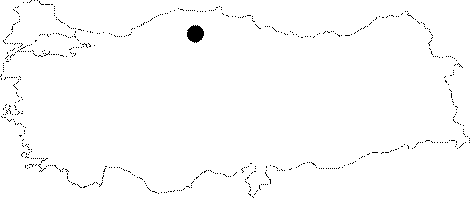
Region: |
Black Sea | |||
|
Province: |
Kastamonu | |||
|
District: |
Pinarbasi | |||
|
Village: |
Azdavay | |||
|
|
||||
 |
||||
| It was formed in parallel to the edge of the calcareous plateau where the Mizrak and Sican caves are situated. It has three entrances; there are several levels in the first descent and continues in parallel to the edge of the calcareous plateau. In the entrance; there are big blocks of rocks. Two branches were found around them. One of them is connected to the other entrance; which was isolated by blocks of rocks when advanced by crawling under. Again; a catwalk among the blocks of rocks in the entrance leads to a gallery covered with mud. While moving here; beautiful decorations can be seen. In 1992; FACC; a British team explored the Kastamonu-Cide region consisting of the Jura-Cretaceous limestones; under the guidance of Nuri Güldal from MTA. The measurements of length and depth provided in the report are only for the section traversed; and it has been reported that the cave continues. |
| Location: |
| Structural Properties and formation : |
| Research History: |
| Findings: |