|
|
||||
|
|
||||
|
At Vadi 2 |
||||
|
For cave maps and drawings please click on the picture... |
For photographs please click on the photo... |
|||
|
 |
|||
|
Type: |
Cave | |||
|
Altitude: |
m | |||
|
Depth: |
-26 m | |||
|
Length: |
69 m | |||
|
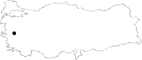
Region: |
Aegean | |||
|
Province: |
Manisa | |||
|
District: |
Merkez | |||
|
Village: |
||||
|
|
||||
 |
||||
| It is located on the Spil Mountain in Manisa. It was explored by cavers from the USA. |
| Location: |
| Structural Properties and formation : The entrance height of 3 feet makes it necessary to do a hands and knees crawl for a few feet before dropping over a 2 foot-high ledge. Moving into the cave there is an intersecting joint. The associated passage goes for a short distance to the right; however, the main cave lay to our left. Proceeding down the passage, there is need to descend two ledges. One was 4 feet high, the other about 5 feet high. After the descents there is a small room. A few stalactites followed a ceiling joint on the left side of the room. A continuation of an intersecting joint, using a rope ladder, in less than 20 feet there is a 30-foot descent over a loose rocked ledge. Throughout the entire area loose pieces of breakdown littered the floor. There are several stalactites, the longest being 4 feet long. A 15-foot drop, then an 8-foot drop brought team into the lowest areas of the cave. They left this cave. |
| Research History: |
| Findings: Team found pottery shards in two areas of the room. As in cave of At Pazarı 1, these appeared to be of late Greek or Roman times. |