|
|
||||
|
|
||||
|
Arapini |
||||
|
For cave maps and drawings please click on the picture... |
For photographs please click on the photo... |
|||
|
 |
|||
|
Type: |
Vertical Cave | |||
|
Altitude: |
m | |||
|
Depth: |
-68 m | |||
|
Length: |
173 m | |||
|
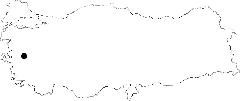
Region: |
Aegean | |||
|
Province: |
Manisa | |||
|
District: |
Merkez | |||
|
Village: |
Kayadibi | |||
|
|
||||
 |
||||
| It was developed on the slopes of the steep rocks extending to west of the Kayadibi Village on the eastern part of the Spil Mountain. The Spil mountain consists of crystallized limestones. The Miocene (Neogene) denudational surface can be traced in several parts. The faulting in front of the cave is approximately 1 km. Following the first 50 m descending by rope; it becomes horizontal; and the end can only be reached by crawling at the last 96 m. It was explored by the Cave Research Club of the Dokuz Eylul University in 1997-1998. |
| Location: |
| Structural Properties and formation : |
| Research History: |
| Findings: |