| ©The Archaeological Settlements of Turkey - TAY Project | ||||||
|
|
||||||
Göçü Höyük |
||||||
|
|
||||||
| Ages | Maps | Photos | ||||
| EBA |
 |
 |
||||
|
|
||||||
|
Type:
|
Mound | |||||
|
Altitude:
|
1140 m | |||||
|
Diameter:
|
120 m- Direction: S-N | |||||
|
|
||||||
|
Region:
|
Central Anatolia | |||||
|
Province:
|
Karaman | |||||
|
District:
|
Merkez | |||||
|
Village:
|
Çoglu | |||||
|
|
||||||
|
Destruction :
|
Agriculture - Highways, roads, bridges etc. | |||||
|
|
||||||
|
TAYEx:
|
Visited - 14/8/2002 | |||||
|
|
||||||
|
Registration State:
|
For detailed registration information please refer to Turkish pages. | |||||
 |
||||||
| Location: |
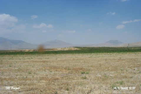
| Geography and Environment: |
| Destruction Details: The mound has been damaged due to agricultural activities. It is cultivated and a tractor road passes from top hill. There is a pit for telephone antenna on top hill [TAYEx 14.8.2002]. |