| ©The Archaeological Settlements of Turkey - TAY Project | ||||||
|
|
||||||
Etminik |
||||||
|
|
||||||
| Ages | Maps | Photos | ||||
| Chalcolithic |
 |
 |
||||
|
|
||||||
|
Type:
|
Mound | |||||
|
Altitude:
|
900 m | |||||
|
Diameter:
|
120 m- Direction: N-S | |||||
|
|
||||||
|
Region:
|
Eastern Anatolia | |||||
|
Province:
|
Elazig | |||||
|
District:
|
Merkez | |||||
|
Village:
|
Altinçevre | |||||
|
|
||||||
|
Destruction :
|
Illicit Digging - Agriculture | |||||
|
|
||||||
|
TAYEx:
|
Visited - 13/7/2003 | |||||
|
|
||||||
|
Registration State:
|
For detailed registration information please refer to Turkish pages. | |||||
 |
||||||
| Location: |
| Geography and Environment: |
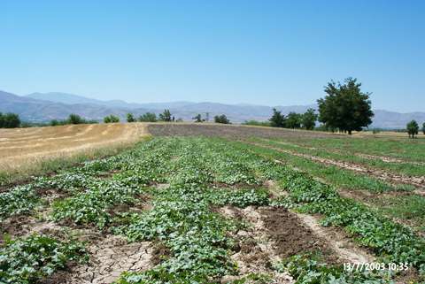
| Destruction Details: The mound has been destructed by agricultural activities and illicit diggings. Its surface and surroundings are completely planted. Soul has been taken from its east skirt. There are four pits measuring 3.5 m in depth at the southwest part of the mound [TAYEx 13.7.2003]. |