| ©The Archaeological Settlements of Turkey - TAY Project | ||||||
|
|
||||||
Enerli Mevkii |
||||||
|
|
||||||
| Ages | Maps | Photos | ||||
| Palaeolithic/Epipalaeolithic |
 |
 |
||||
|
|
||||||
|
Type:
|
Habitation Site / Workshop | |||||
|
Altitude:
|
m | |||||
|
Diameter:
|
m- Direction: | |||||
|
|
||||||
|
Region:
|
Eastern Anatolia | |||||
|
Province:
|
Elazig | |||||
|
District:
|
Keban | |||||
|
Village:
|
||||||
|
|
||||||
|
Destruction :
|
Dams | |||||
|
|
||||||
|
TAYEx:
|
Not visited - 15/8/2003 | |||||
|
|
||||||
|
Registration State:
|
For detailed registration information please refer to Turkish pages. | |||||
 |
||||||
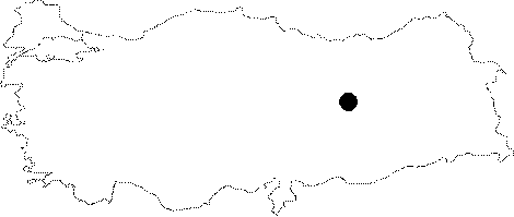
| Location: This site; now flooded by the Keban Dam Lake lies northwest of the city of Elazig; about 8-9 km northwest of the town of Keban. The site was at the Enerli Çiftligi Farm; 1.5 km; as the crow flies; north of the Arapkir Stream and 3 km south of the town of Agin. |
| Geography and Environment: It is difficult to locate this site geographically because of the lack of information. The above map shows an approximate location. |
| Destruction Details: The mound is flooded by dam reservoir [TAYEx 15.8.2003]. |