| ©The Archaeological Settlements of Turkey - TAY Project | ||||||
|
|
||||||
Dom / Körpeagaç |
||||||
|
|
||||||
| Ages | Maps | Photos | ||||
| EBA IA |
 |
 |
||||
|
|
||||||
|
Type:
|
Mound | |||||
|
Altitude:
|
1350 m | |||||
|
Diameter:
|
127 m- Direction: W-E | |||||
|
|
||||||
|
Region:
|
Eastern Anatolia | |||||
|
Province:
|
Mus | |||||
|
District:
|
Merkez | |||||
|
Village:
|
Körpeagaç | |||||
|
|
||||||
|
Destruction :
|
Contemporary Settlements - Attention | |||||
|
|
||||||
|
TAYEx:
|
Visited - 11/7/2003 | |||||
|
|
||||||
|
Registration State:
|
For detailed registration information please refer to Turkish pages. | |||||
 |
||||||
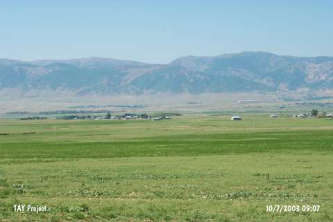
| Location: |
| Geography and Environment: |
| Destruction Details: Soil has been taken from the northern section of the mound. There is a road running to the top starting from western skirt. The water channel which was built approximately 7 years ago locates west-northwest of the mound and passes north by cutting it. There is a bridge on the channel. There are houses on all skirts except north [TAYEx 10.7.2003]. |