| ©The Archaeological Settlements of Turkey - TAY Project | ||||||
|
|
||||||
Deve Höyük I Mezarligi |
||||||
|
|
||||||
| Ages | Maps | Photos | ||||
| IA |
 |
 |
||||
|
|
||||||
|
Type:
|
Cemetery | |||||
|
Altitude:
|
m | |||||
|
Diameter:
|
m- Direction: | |||||
|
|
||||||
|
Region:
|
Southeastern Anatolia | |||||
|
Province:
|
Gaziantep | |||||
|
District:
|
Karkamis | |||||
|
Village:
|
Devehöyük | |||||
|
|
||||||
|
|
||||||
|
|
||||||
|
TAYEx:
|
- | |||||
|
|
||||||
|
Registration State:
|
For detailed registration information please refer to Turkish pages. | |||||
 |
||||||
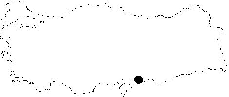
| Location: Deve Höyük is located near Kargamis in the valley, through which the Sayur tributary of the Euphrates flows, within the provincial borders of Gaziantep [Moorey 1980:1]. |
| Geography and Environment: It has a strategic location as it is close to two transit points over the Euphrates at Kargamis (Carchemish) and Tel Ahmar. Deve Höyük suffered grave damage during the invasion of the Neo Babylonian Empire at the last decade of the 7th century BC, and it was not subsequently inhabited during the period of Achaemenids [Moorey 1980:10]. |
| Destruction Details: |