| ©The Archaeological Settlements of Turkey - TAY Project | ||||||
|
|
||||||
Büyük Kapi Kaya Aniti |
||||||
|
|
||||||
| Ages | Maps | Photos | ||||
| IA |
 |
 |
||||
|
|
||||||
|
Type:
|
Sanctuary | |||||
|
Altitude:
|
m | |||||
|
Diameter:
|
m- Direction: | |||||
|
|
||||||
|
Region:
|
Aegean | |||||
|
Province:
|
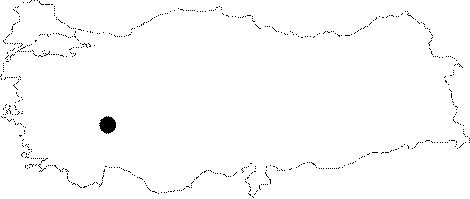
Afyonkarahisar | |||||
|
District:
|
Ihsaniye | |||||
|
Village:
|
Üçlerkayasi | |||||
|
|
||||||
|
|
||||||
|
|
||||||
|
TAYEx:
|
- | |||||
|
|
||||||
|
Registration State:
|
For detailed registration information please refer to Turkish pages. | |||||
 |
||||||
| Location: It lies 1.8 km and 6 km southeast of the Aslankaya Monument, and the Döger Subdistrict, respectively in the Ihsaniye District of Afyonkarahisar. It was carved into one of the low rock masses, approximately 50 m far from the road leading from Döger to Üçlerkayasi Village to the north of the dirt road. |
| Geography and Environment: Almost 20 m to the northwest lies a stepped rock altar. |
| Destruction Details: |