| ©The Archaeological Settlements of Turkey - TAY Project | ||||||
|
|
||||||
BT 89 Tümülüsü |
||||||
|
|
||||||
| Ages | Maps | Photos | ||||
| IA |
 |
 |
||||
|
|
||||||
|
Type:
|
Tumulus | |||||
|
Altitude:
|
m | |||||
|
Diameter:
|
m- Direction: | |||||
|
|
||||||
|
Region:
|
Aegean | |||||
|
Province:
|
Manisa | |||||
|
District:
|
Salihli | |||||
|
Village:
|
||||||
|
|
||||||
|
|
||||||
|
|
||||||
|
TAYEx:
|
- | |||||
|
|
||||||
|
Registration State:
|
For detailed registration information please refer to Turkish pages. | |||||
 |
||||||
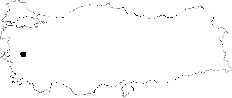
| Location: It lies on the "Salihli-Gölmarmara" road, 10 km east of Manisa, between the Gyges and Ardys tumuli. |
| Geography and Environment: |
| Destruction Details: |