| ©The Archaeological Settlements of Turkey - TAY Project | ||||||
|
|
||||||
Çukurtepe |
||||||
|
|
||||||
| Ages | Maps | Photos | ||||
| EBA |
 |
 |
||||
|
|
||||||
|
Type:
|
Mound | |||||
|
Altitude:
|
60 m | |||||
|
Diameter:
|
m- Direction: | |||||
|
|
||||||
|
Region:
|
Aegean | |||||
|
Province:
|
Aydin | |||||
|
District:
|
Sultanhisar | |||||
|
Village:
|
Salavatli | |||||
|
|
||||||
|
Destruction :
|
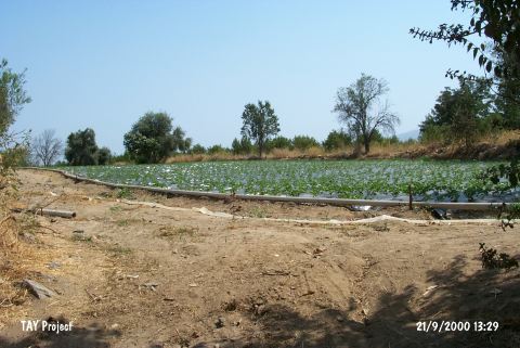
Agriculture - Contemporary Settlements | |||||
|
|
||||||
|
TAYEx:
|
Visited - 21/9/2000 | |||||
|
|
||||||
|
Registration State:
|
Registered For detailed registration information please refer to Turkish pages. | |||||
 |
||||||
| Location: |
| Geography and Environment: |
| Destruction Details: The mound is severely damaged due to terracing and leveling for cultivation. Two houses were built on the southern section [TAYEx 21.9.2000]. |