| ©The Archaeological Settlements of Turkey - TAY Project | ||||||
|
|
||||||
Basmaci |
||||||
|
|
||||||
| Ages | Maps | Photos | ||||
| IA |
 |
 |
||||
|
|
||||||
|
Type:
|
Tumulus | |||||
|
Altitude:
|
m | |||||
|
Diameter:
|
m- Direction: | |||||
|
|
||||||
|
Region:
|
Aegean | |||||
|
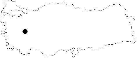
Province:
|
Usak | |||||
|
District:
|
Merkez | |||||
|
Village:
|
Güre | |||||
|
|
||||||
|
|
||||||
|
|
||||||
|
TAYEx:
|
- | |||||
|
|
||||||
|
Registration State:
|
For detailed registration information please refer to Turkish pages. | |||||
 |
||||||
| Location: It lies in a wide land remained between the Gediz (Hermus) River and the Usak-Izmir motorway, 3 km north of Güre (ancient name Bagis) Town of the Merkez District in Usak. |
| Geography and Environment: The Basmaci Tumulus rests on a high hill, the nearest point to the Gediz River, centrally located in the necropolis area at Güre. |
| Destruction Details: |