| ©The Archaeological Settlements of Turkey - TAY Project | ||||||
|
|
||||||
Çögürtepe |
||||||
|
|
||||||
| Ages | Maps | Photos | ||||
| EBA IA |
 |
 |
||||
|
|
||||||
|
Type:
|
Mound | |||||
|
Altitude:
|
1160 m | |||||
|
Diameter:
|
97 m- Direction: N-S | |||||
|
|
||||||
|
Region:
|
Aegean | |||||
|
Province:
|
Kütahya | |||||
|
District:
|
Aslanapa | |||||
|
Village:
|
Tokul | |||||
|
|
||||||
|
Destruction :
|
Agriculture - Highways, roads, bridges etc. - Attention | |||||
|
|
||||||
|
TAYEx:
|
Visited - 6/7/2004 | |||||
|
|
||||||
|
Registration State:
|
For detailed registration information please refer to Turkish pages. | |||||
 |
||||||
| Location: |
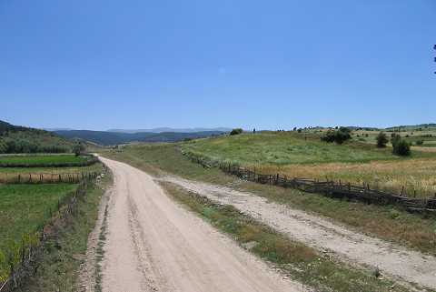
| Geography and Environment: |
| Destruction Details: The slopes of the mound are being planted and its northwestern section was severely damaged to make way for fields. Its eastern section is cut by the village road [TAYEx 6.7.2004]. |