| ©The Archaeological Settlements of Turkey - TAY Project | ||||||
|
|
||||||
Yazilikaya - Midas Sehri |
||||||
|
|
||||||
| Ages | Maps | Photos | ||||
| IA |
 |
 |
||||
|
|
||||||
|
Type:
|
City | |||||
|
Altitude:
|
m | |||||
|
Diameter:
|
m- Direction: | |||||
|
|
||||||
|
Region:
|
Central Anatolia | |||||
|
Province:
|
Eskisehir | |||||
|
District:
|
Han | |||||
|
Village:
|
Yazilikaya | |||||
|
|
||||||
|
|
||||||
|
|
||||||
|
TAYEx:
|
- | |||||
|
|
||||||
|
Registration State:
|
For detailed registration information please refer to Turkish pages. | |||||
 |
||||||
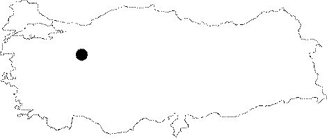
| Location: It lies to the immediate west of the Yazilikaya Village in the valley of Yazilikaya, 70 km south of Eskisehir. |
| Geography and Environment: It was founded on the Yazilikaya Plateau (altitude:1315m) formed by high and steep tuff rocks on the southern end of the Yazilikaya Valley in the Highlands of Phyrigia. It is a settlement protected by the Akpara Fortress, Pismis Fortress, Gökgöz Fortress, and Kocabas Fortress, which are at higher altitudes and command the roads from west and north. The site measures 650 m long, and 320 m wide. It is approximately 60-70 m high above the valley floor. |
| Destruction Details: |