| ©The Archaeological Settlements of Turkey - TAY Project | ||||||
|
|
||||||
Toptepe |
||||||
|
|
||||||
| Ages | Maps | Photos | ||||
| IA |
 |
 |
||||
|
|
||||||
|
Type:
|
Tumulus | |||||
|
Altitude:
|
m | |||||
|
Diameter:
|
m- Direction: | |||||
|
|
||||||
|
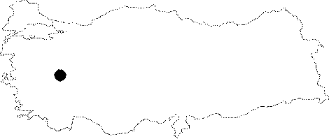
Region:
|
Aegean | |||||
|
Province:
|
Usak | |||||
|
District:
|
Merkez | |||||
|
Village:
|
Güre | |||||
|
|
||||||
|
|
||||||
|
|
||||||
|
TAYEx:
|
- | |||||
|
|
||||||
|
Registration State:
|
For detailed registration information please refer to Turkish pages. | |||||
 |
||||||
| Location: It is situated in the plain irrigated by the Gediz River to the north of the Güre Village on the Usak-Izmir motorway, 25 km west of the provincial center of Usak. |
| Geography and Environment: Toptepe (Haylaz Tepe) Tumulus was robbed by illicit diggings in 1965. The data on the finds are based on the testimonies of the smugglers. |
| Destruction Details: |