| ©The Archaeological Settlements of Turkey - TAY Project | ||||||
|
|
||||||
Taslicabayir |
||||||
|
|
||||||
| Ages | Maps | Photos | ||||
| IA |
 |
 |
||||
|
|
||||||
|
Type:
|
Tumulus | |||||
|
Altitude:
|
m | |||||
|
Diameter:
|
m- Direction: | |||||
|
|
||||||
|
Region:
|
Marmara | |||||
|
Province:
|
Kirklareli | |||||
|
District:
|
Merkez | |||||
|
Village:
|
Asilbeyli | |||||
|
|
||||||
|
|
||||||
|
|
||||||
|
TAYEx:
|
- | |||||
|
|
||||||
|
Registration State:
|
For detailed registration information please refer to Turkish pages. | |||||
 |
||||||
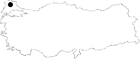
| Location: Taslicabayir is situated near the Asilbeyli Village, 5 km south of the provincial center of Kirklareli. |
| Geography and Environment: The upper deposit of the destroyed hill has been almost leveled by a grader, only a portion of 30 cm of the hill being left. |
| Destruction Details: |