| ©The Archaeological Settlements of Turkey - TAY Project | ||||||
|
|
||||||
Çiftliktepe |
||||||
|
|
||||||
| Ages | Maps | Photos | ||||
| EBA |
 |
 |
||||
|
|
||||||
|
Type:
|
Mound | |||||
|
Altitude:
|
-30 m | |||||
|
Diameter:
|
m- Direction: | |||||
|
|
||||||
|
Region:
|
Aegean | |||||
|
Province:
|
Izmir | |||||
|
District:
|
Bergama | |||||
|
Village:
|
||||||
|
|
||||||
|
Destruction :
|
Mines/Quarries - Attention | |||||
|
|
||||||
|
TAYEx:
|
Visited - 9/9/2000 | |||||
|
|
||||||
|
Registration State:
|
For detailed registration information please refer to Turkish pages. | |||||
 |
||||||
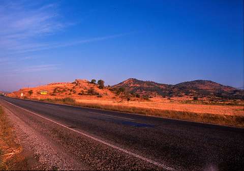
| Location: |
| Geography and Environment: |
| Destruction Details: The mound is being used as a stone quarry since January 2000. It has been severely damaged due to earth removal from the surface [TAYEx 9.9.2000]. The mound is in danger due to agricultural activities [Horejs-Pirson 2015:150]. |