| ©The Archaeological Settlements of Turkey - TAY Project | ||||||
|
|
||||||
Çiçekdagi |
||||||
|
|
||||||
| Ages | Maps | Photos | ||||
| EBA |
 |
 |
||||
|
|
||||||
|
Type:
|
Mound | |||||
|
Altitude:
|
850 m | |||||
|
Diameter:
|
85 m- Direction: E-W | |||||
|
|
||||||
|
Region:
|
Central Anatolia | |||||
|
Province:
|
Yozgat | |||||
|
District:
|
Yerköy | |||||
|
Village:
|
||||||
|
|
||||||
|
Destruction :
|
Illicit Digging - Attention | |||||
|
|
||||||
|
TAYEx:
|
Visited - 21/7/2002 | |||||
|
|
||||||
|
Registration State:
|
For detailed registration information please refer to Turkish pages. | |||||
 |
||||||
| Location: It lies southwest of the Yerköy District; about 42-43 km southwest of the Yozgat Province. |
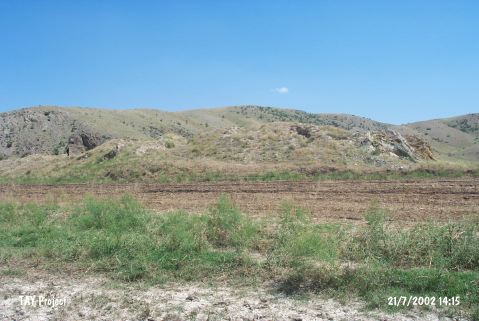
| Geography and Environment: The mound is located in a plain. It is reported to be a small hill. |
| Destruction Details: The mound has been seriously damaged due to illicit diggings; completely lost its form [TAYEx 21.7.2002]. |