| ©The Archaeological Settlements of Turkey - TAY Project | ||||||
|
|
||||||
Parion |
||||||
|
|
||||||
| Ages | Maps | Photos | ||||
| IA |
 |
 |
||||
|
|
||||||
|
Type:
|
City | |||||
|
Altitude:
|
m | |||||
|
Diameter:
|
m- Direction: | |||||
|
|
||||||
|
Region:
|
Marmara | |||||
|
Province:
|
Çanakkale | |||||
|
District:
|
Biga | |||||
|
Village:
|
Kemer | |||||
|
|
||||||
|
|
||||||
|
|
||||||
|
TAYEx:
|
- | |||||
|
|
||||||
|
Registration State:
|
For detailed registration information please refer to Turkish pages. | |||||
 |
||||||
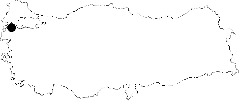
| Location: It was founded on the rugged terrain of the Bodrum Promontory, which projects into the sea to the northeast of the Kemer Village of the Balikçesme Subdistrict in the Biga District. Parion is accessed through a 14 km road that intersects from Biga-Lapseki motorway's 15th kilometer. |
| Geography and Environment: |
| Destruction Details: Due to the heavy machinery operations used before the 2005 campaign it was found that the artifacts were destroyed [Başaran-Tavukçu 2007:620]. |