| ©The Archaeological Settlements of Turkey - TAY Project | ||||||
|
|
||||||
Çinaz 1 |
||||||
|
|
||||||
| Ages | Maps | Photos | ||||
| Chalcolithic EBA IA |
 |
 |
||||
|
|
||||||
|
Type:
|
Mound | |||||
|
Altitude:
|
1940 m | |||||
|
Diameter:
|
260 m- Direction: SE-NW | |||||
|
|
||||||
|
Region:
|
Eastern Anatolia | |||||
|
Province:
|
Elazig | |||||
|
District:
|
Kovancilar | |||||
|
Village:
|
Saraybahçe | |||||
|
|
||||||
|
Destruction :
|
Agriculture - Contemporary Settlements - Attention | |||||
|
|
||||||
|
TAYEx:
|
Visited - 12/7/2003 | |||||
|
|
||||||
|
Registration State:
|
Registered For detailed registration information please refer to Turkish pages. | |||||
 |
||||||
| Location: |
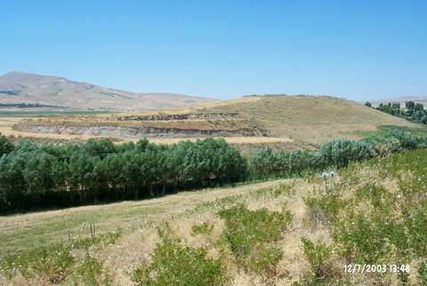
| Geography and Environment: |
| Destruction Details: Agricultural activities and contemporary settlement are heavily destructing the mound. It has been excavated by bulldozer in patches and its northwest slope has been terraced. There is a house construction carrying on at this area. The southwest section is completely planted till top hill. The east-southeast part is cut by steps and it is also being planted [TAYEx 12.7.2003]. The construction of a new residence was detected during the survey performed by Danik in 2006, which was started on the northwestern slope of the mound [Danik 2008:346]. |