| ©The Archaeological Settlements of Turkey - TAY Project | ||||||
|
|
||||||
Magnesia |
||||||
|
|
||||||
| Ages | Maps | Photos | ||||
| IA |
 |
 |
||||
|
|
||||||
|
Type:
|
City | |||||
|
Altitude:
|
m | |||||
|
Diameter:
|
m- Direction: | |||||
|
|
||||||
|
Region:
|
Aegean | |||||
|
Province:
|
Aydin | |||||
|
District:
|
Germencik | |||||
|
Village:
|
Tekin | |||||
|
|
||||||
|
|
||||||
|
|
||||||
|
TAYEx:
|
- | |||||
|
|
||||||
|
Registration State:
|
Registered For detailed registration information please refer to Turkish pages. | |||||
 |
||||||
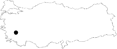
| Location: Magnesia is located within the borders of the Tekin Village of the Ortaklar Subdistrict on the Ortaklar-Söke motorway in the Germencik District of Aydin. |
| Geography and Environment: Initially founded on the banks of the Maiandros River, the city moved to an area near the earlier temple of Artemis Leukophryene, the patron goddess of the city, approximately 5 km north of the river on the spur of the Mount Thorax (Gümüş) during the early 4th century BC. Strabo refers to the city as "Magnesia-on-the-Maiandros" as it was located near the river. However, the city was defined in various ways in the inscriptions such as -around Maiandros, -from Maiandros, -near Maiandros. The new Magnesia was founded near the Lethaios Brook (Gümüş Çay), a tributary of Menderes, and it was called the "Magnesia on the Lethaios" only by Pausanias. The city was enclosed by walls, covering an area of ca. 1300x1100 squaremeters, as arranged in a grill plan. It was also at a strategically and commercially important location within the geographical triangle of Priene, Ephesus, and Tralleis. At present, almost all of the buildings uncovered at Magnesia have been silted up by the alluvial deposits conveyed by the Lethaios Stream. The remaining ones have been obscured by trees and bushes. |
| Destruction Details: |