| ©The Archaeological Settlements of Turkey - TAY Project | ||||||
|
|
||||||
Kyzikos |
||||||
|
|
||||||
| Ages | Maps | Photos | ||||
| IA |
 |
 |
||||
|
|
||||||
|
Type:
|
City | |||||
|
Altitude:
|
m | |||||
|
Diameter:
|
m- Direction: | |||||
|
|
||||||
|
Region:
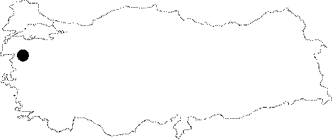
|
Marmara | |||||
|
Province:
|
Balikesir | |||||
|
District:
|
Erdek | |||||
|
Village:
|
Merkez | |||||
|
|
||||||
|
|
||||||
|
|
||||||
|
TAYEx:
|
- | |||||
|
|
||||||
|
Registration State:
|
For detailed registration information please refer to Turkish pages. | |||||
 |
||||||
| Location: It lies to the north of a swampland between the Erdek and Bandirma Bays on the peninsula of ancient Arctonnessos (present Kapidag) within the borders of the Erdek District in Balikesir [Yaylali 1991:171]. |
| Geography and Environment: Having a strategic position in Propontis, Kyzkios (Cyzicus) lies to the north of the isthmus linked by Arctonnesus to the mainland. It is also called "Belkis" or "Balkız" at present. The settlement is delimited by the Mount Dindymos (Ayi Dagı), and the villages of Hamamli and Belkis (Yeniköy) to the north; the Erdek Körfezi and the village of Düzler to the west; the Erdek-Edincik-Bandirma motorway to the south; and the village of Asagiyapici and the Bandirma Bay to the east [Yaylali 1991:178]. |
| Destruction Details: |