| ©The Archaeological Settlements of Turkey - TAY Project | ||||||
|
|
||||||
Akarca Sekileri |
||||||
|
|
||||||
| Ages | Maps | Photos | ||||
| Palaeolithic/Epipalaeolithic |
 |
 |
||||
|
|
||||||
|
Type:
|
Single Findspot | |||||
|
Altitude:
|
m | |||||
|
Diameter:
|
m- Direction: | |||||
|
|
||||||
|
Region:
|
Black Sea | |||||
|
Province:
|
Kastamonu | |||||
|
District:
|
Tasköprü | |||||
|
Village:
|
Kizilcaörhen | |||||
|
|
||||||
|
|
||||||
|
|
||||||
|
TAYEx:
|
Not visited - 20/9/2003 | |||||
|
|
||||||
|
Registration State:
|
For detailed registration information please refer to Turkish pages. | |||||
 |
||||||
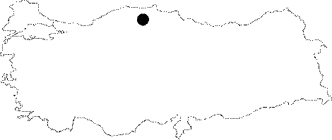
| Location: This site is located west of the town of Tasköprü; northeast of the city of Kastamonu. It lies on the flanks of the Devrekani Mountains facing the Gökirmak River. These terraces lie south of the village of Kizilöhren; which includes the neighborhoods of Taktak/Tahtak and Malak. |
| Geography and Environment: Streams flowing from the mountains of northwestern Anatolia such as Ilgaz; Devrekani; Elek; Çangal all empty into the Gökirmak River which in turn joins the Kizilirmak River to the east. The gravely terraces where the artifacts were found can be seen from the wide Gökirmak River Valley. Bostanci does not provide further information on the site's location. |
| Destruction Details: |