| ©The Archaeological Settlements of Turkey - TAY Project | ||||||
|
|
||||||
Çeçtepe / Çestepe |
||||||
|
|
||||||
| Ages | Maps | Photos | ||||
| Palaeolithic/Epipalaeolithic |
 |
 |
||||
|
|
||||||
|
Type:
|
Single Findspot | |||||
|
Altitude:
|
m | |||||
|
Diameter:
|
m- Direction: | |||||
|
|
||||||
|
Region:
|
Central Anatolia | |||||
|
Province:
|
Ankara | |||||
|
District:
|
Kizilcahamam | |||||
|
Village:
|
Çeçtepe | |||||
|
|
||||||
|
|
||||||
|
|
||||||
|
TAYEx:
|
Not visited - 10/7/2002 | |||||
|
|
||||||
|
Registration State:
|
For detailed registration information please refer to Turkish pages. | |||||
 |
||||||
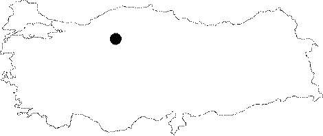
| Location: The site is 40 km northwest of the city of Ankara; close to the village of Çectepe (or Çestepe); atop the highest terrace formed by sedimentary deposition; immediately west of the (E-5) Ankara-Istanbul highway. This village is located approximately 17 km south southeast of the town of Kizilcahamam. |
| Geography and Environment: Kökten finds this site's location atop the Neogaean layers overlying alluvial deposits quite abnormal and claims that geological expertise is necessary for realistic interpretations of archaeological data [Kökten 1952b:198]. |
| Destruction Details: |