| ©The Archaeological Settlements of Turkey - TAY Project | ||||||
|
|
||||||
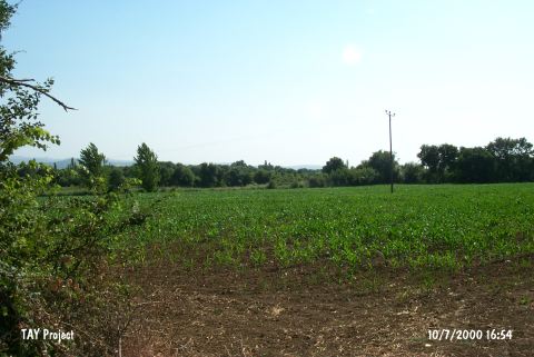
Çayirköy |
||||||
|
|
||||||
| Ages | Maps | Photos | ||||
| EBA |
 |
 |
||||
|
|
||||||
|
Type:
|
Mound | |||||
|
Altitude:
|
150 m | |||||
|
Diameter:
|
m- Direction: | |||||
|
|
||||||
|
Region:
|
Marmara | |||||
|
Province:
|
Bursa | |||||
|
District:
|
Nilüfer | |||||
|
Village:
|
Ertugrul | |||||
|
|
||||||
|
Destruction :
|
Agriculture | |||||
|
|
||||||
|
TAYEx:
|
Visited - 10/7/2000 | |||||
|
|
||||||
|
Registration State:
|
For detailed registration information please refer to Turkish pages. | |||||
 |
||||||
| Location: |
| Geography and Environment: |
| Destruction Details: The surface of the mound is being used for agriculture. Its northern section has been partially cut to make way for fields and there are peach trees on top hill [TAYEx 10.7.2000]. |