| ©The Archaeological Settlements of Turkey - TAY Project | ||||||
|
|
||||||
Çavi Tarlasi |
||||||
|
|
||||||
| Ages | Maps | Photos | ||||
| Chalcolithic |
 |
 |
||||
|
|
||||||
|
Type:
|
Mound | |||||
|
Altitude:
|
505 m | |||||
|
Diameter:
|
m- Direction: | |||||
|
|
||||||
|
Region:
|
Southeastern Anatolia | |||||
|
Province:
|
Sanliurfa | |||||
|
District:
|
Siverek | |||||
|
Village:
|
Nusaybin | |||||
|
|
||||||
|
Destruction :
|
Dams | |||||
|
|
||||||
|
TAYEx:
|
Not visited - 29/8/2001 | |||||
|
|
||||||
|
Registration State:
|
For detailed registration information please refer to Turkish pages. | |||||
 |
||||||
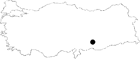
| Location: The site lied approximately 500 m northeast of Nusaybin Village of Siverek District of Urfa; 4.5 km east of Hassek Village. It was located on the earth road leading to Kalemli before it was inundated by Atatürk Dam. |
| Geography and Environment: Çavi Tarlasi is a settlement; measuring 140x120 m; that was founded at the eastern slope of a terrace. Its name means "fresh water field". Çavi Tarlasi has many fresh water springs that irrigate the mound and the surrounding areas. |
| Destruction Details: The site is flooded by dam reservoir today [TAYEx 29.8.2001]. |