| ©The Archaeological Settlements of Turkey - TAY Project | ||||||
|
|
||||||
Çatal Höyük 2 |
||||||
|
|
||||||
| Ages | Maps | Photos | ||||
| Neolithic Chalcolithic |
 |
 |
||||
|
|
||||||
|
Type:
|
Mound | |||||
|
Altitude:
|
950 m | |||||
|
Diameter:
|
225 m- Direction: NW-SE | |||||
|
|
||||||
|
Region:
|
Central Anatolia | |||||
|
Province:
|
Ankara | |||||
|
District:
|
Sereflikoçhisar | |||||
|
Village:
|
Akin | |||||
|
|
||||||
|
Destruction :
|
Agriculture | |||||
|
|
||||||
|
TAYEx:
|
Visited - 31/7/2002 | |||||
|
|
||||||
|
Registration State:
|
For detailed registration information please refer to Turkish pages. | |||||
 |
||||||
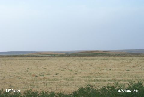
| Location: This site lies south of Ankara-Adana highway; northeast of the village of Akin; 30 km northwest of the town of Sereflikoçhisar and south of the city of Ankara. |
| Geography and Environment: The site is one of the two mounds lying on the steppe plain immediately north of the western extension of Tuz Gölü salt lake. Because both mounds are known as Çatal Höyük; the research director Omura has called the northwestern one Çatal Höyük I and the southeastern one Çatal Höyük II. Omura notes that Çatal Höyük II; which yielded Neolithic material; is 140x140x7 m in size. |
| Destruction Details: The mound is being damaged due to agricultural activities [TAYEx 31.7.2002]. |