| ©The Archaeological Settlements of Turkey - TAY Project | ||||||
|
|
||||||
Çardakli |
||||||
|
|
||||||
| Ages | Maps | Photos | ||||
| EBA IA |
 |
 |
||||
|
|
||||||
|
Type:
|
Mound | |||||
|
Altitude:
|
-60 m | |||||
|
Diameter:
|
m- Direction: | |||||
|
|
||||||
|
Region:
|
Marmara | |||||
|
Province:
|
Edirne | |||||
|
District:
|
Merkez | |||||
|
Village:
|
||||||
|
|
||||||
|
Destruction :
|
Agriculture - Highways, roads, bridges etc. | |||||
|
|
||||||
|
TAYEx:
|
Visited - 13/6/2000 | |||||
|
|
||||||
|
Registration State:
|
For detailed registration information please refer to Turkish pages. | |||||
 |
||||||
| Location: |
| Geography and Environment: |
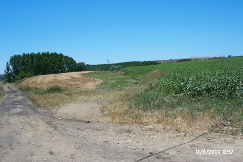
| Destruction Details: The surface of the mound is being used for wheat cultivation. The secondary roads on the east and south of the settlement have damaged the slopes. A village house and a garage/depot structure have been built on the eastern skirt [TAYEx 13.6.2000]. |