| ©The Archaeological Settlements of Turkey - TAY Project | ||||||
|
|
||||||
Çallica |
||||||
|
|
||||||
| Ages | Maps | Photos | ||||
| Palaeolithic/Epipalaeolithic |
 |
 |
||||
|
|
||||||
|
Type:
|
Single Findspot | |||||
|
Altitude:
|
60 m | |||||
|
Diameter:
|
m- Direction: | |||||
|
|
||||||
|
Region:
|
Marmara | |||||
|
Province:
|
Yalova | |||||
|
District:
|
Çinarcik | |||||
|
Village:
|
Çallica | |||||
|
|
||||||
|
|
||||||
|
|
||||||
|
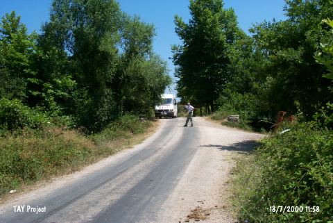
TAYEx:
|
Visited - 18/7/2000 | |||||
|
|
||||||
|
Registration State:
|
For detailed registration information please refer to Turkish pages. | |||||
 |
||||||
| Location: Artifacts were found in the Çallica riverbed where it flows through the village of Çallica; 6 km west of the city of Yalova and near the town of Çinarcik. |
| Geography and Environment: The Çallica Stream; which springs from the forested and mountainous southern part of the region; joins other streams and brooks such as Safran Çay; Sarisu and Lala Dere before it empties into the Marmara Sea. The terrain in this region undulates because of these streamlets. |
| Destruction Details: |