| ©The Archaeological Settlements of Turkey - TAY Project | ||||||
|
|
||||||
Çakmaksulu - Incesu |
||||||
|
|
||||||
| Ages | Maps | Photos | ||||
| Palaeolithic/Epipalaeolithic |
 |
 |
||||
|
|
||||||
|
Type:
|
Single Findspot | |||||
|
Altitude:
|
990 m | |||||
|
Diameter:
|
m- Direction: | |||||
|
|
||||||
|
Region:
|
Southeastern Anatolia | |||||
|
Province:
|
Gaziantep | |||||
|
District:
|
Sehitkamil | |||||
|
Village:
|
Aktoprak | |||||
|
|
||||||
|
Destruction :
|
Agriculture | |||||
|
|
||||||
|
TAYEx:
|
Visited - 21/8/2001 | |||||
|
|
||||||
|
Registration State:
|
Registered For detailed registration information please refer to Turkish pages. | |||||
 |
||||||
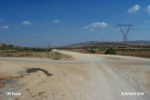
| Location: This site is 17 km northwest of the city of Gaziantep and 2 km southeast of the village of Incesu. It is in the district of Çakmaksulu; immediately off of the road that runs between the villages of Incesu and Sam via Aktoprak (Gücüge). Goetze refers to this site as Incesu. |
| Geography and Environment: Very close to the site are flintstone nodule deposits (locally called "shay") and a limestone outcrop with several nearly vertical layers. |
| Destruction Details: The area that the findspot located is planted [TAYEx 21.8.2001]. |