| ©The Archaeological Settlements of Turkey - TAY Project | ||||||
|
|
||||||
Coba Höyük / Sakçagözü |
||||||
|
|
||||||
| Ages | Maps | Photos | ||||
| Neolithic Chalcolithic EBA IA |
 |
 |
||||
|
|
||||||
|
Type:
|
Mound | |||||
|
Altitude:
|
620 m | |||||
|
Diameter:
|
m- Direction: | |||||
|
|
||||||
|
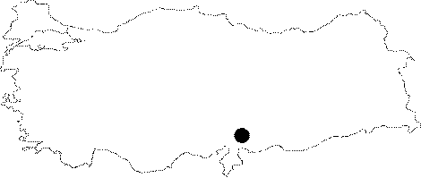
Region:
|
Mediterranean | |||||
|
Province:
|
Gaziantep | |||||
|
District:
|
Nurdagi | |||||
|
Village:
|
Sakçagözü | |||||
|
|
||||||
|
Destruction :
|
Illicit Digging - Contemporary Settlements | |||||
|
|
||||||
|
TAYEx:
|
Visited - 26/8/2001 | |||||
|
|
||||||
|
Registration State:
|
Registered For detailed registration information please refer to Turkish pages. | |||||
 |
||||||
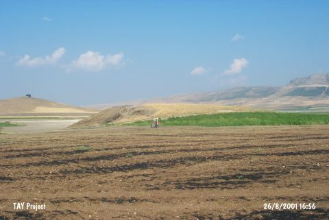
| Location: It lies 3 km northwest of the Sakçagöz (Keferdiz) Village; west-northwest of the Gaziantep Province. |
| Geography and Environment: It measures 9 m in height together with the bedrock and 140x90 m in dimensions. It is one of the medium sized mounds of the Southeastern Anatolia region. The cultural deposit is reported not to exceed 6 m. |
| Destruction Details: There is pit made by illicit diggers on west skirt of the mound and a cleft on northern slope probably formed because of removal of soil or illicit diggings [TAYEx 26.8.2001]. |