| ©The Archaeological Settlements of Turkey - TAY Project | ||||||
|
|
||||||
Cilavuz / Susuz |
||||||
|
|
||||||
| Ages | Maps | Photos | ||||
| Palaeolithic/Epipalaeolithic |
 |
 |
||||
|
|
||||||
|
Type:
|
Single Findspot | |||||
|
Altitude:
|
m | |||||
|
Diameter:
|
m- Direction: | |||||
|
|
||||||
|
Region:
|
Eastern Anatolia | |||||
|
Province:
|
Kars | |||||
|
District:
|
Susuz | |||||
|
Village:
|
Merkez | |||||
|
|
||||||
|
|
||||||
|
|
||||||
|
TAYEx:
|
Not visited - 29/6/2003 | |||||
|
|
||||||
|
Registration State:
|
For detailed registration information please refer to Turkish pages. | |||||
 |
||||||
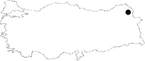
| Location: This site is about 20 km north of Kars; as the crow flies; north-northeast of the town of Susuz; on the flat plain north of the Cilavuz Stream. This site has also been referred to as the site of Susuz in archaeological literature. |
| Geography and Environment: The Cilavuz Stream springs from two different sources on the 3;150 m high Mount Kisirin and arcs around the town of Susuz before its confluence with the Agziaçik Stream. The Agziaçik; which is referred to by several different names on its journey; such as Çayirdere Stream and Kars Stream; flows steadily until it empties into the Arpaçay River. Kökten must have surveyed the gravely areas between the northern Kamisli Stream and the Kirçiçegi (Mamas) Stream. He informs us that there are natural caves by the Cilavuz Stream. On a 1:100;000 map; there appears to be at least one cave immediately west of the town of Susuz; along the Cilavuz River where it joins with the Agziaçik Stream. |
| Destruction Details: |